Tuesday, April 21, 2020

My First Tracks in the DACKS


Hikers Relax in the DACKS 

On a sparkling crisp afternoon on the fifth of October, 2019 my daughter Molly and I are walking back to the trailhead after hiking to the top of Sawteeth (yes that's the correct spelling!) Mountain in the Adirondacks of New York.  We catch up with a middle aged couple walking along, and as hikers often do, we start talking about the brilliant weather and where we had hiked.  The man notices my hat, and comments ‘these Adirondack High Peaks must not seem like anything compared to the mountains in Colorado’.  Well, actually....

Certainly, the Colorado 14ers tower over the "DACKS" in terms of elevation above sea level. Standing on the summit of Mt Marcy, the highest point in New York, you’d have over a mile and a half of rock over your head to match Mt Elbert, the highest point in Colorado.

But in terms of climbing effort, some of the hikes are surprisingly comparable.  Take Sawteeth Moutain via the scenic loop trail that Molly and I just hiked:

Alltrails cites the hike as 14.2 miles long with 3,356 feet of elevation gain.  Comparing Colorado 14er hikes that have approximately 3,300 feet of elevation gain: Mount Princeton is a 6.5 mile hike, Wetterhorn Peak is 7 miles, and Quandry is 6.75 miles, less than half the distance!

How about hikes for beginners?
Hikers looking for a first peak to climb in the Adirondacks are often directed to Cascade mountain.

Descending Cascade

Mount Democrat is often suggested as a first Colorado 14er.

View from the summit of Mount Democrat
See my trip report here


From trailhead to summit, Cascade is a 4.8 mile round trip hike with 1,940 feet of elevation gain. Mount Democrat requires hiking 4 miles and 2,150 feet of climbing.  Pretty similar number of steps and breaths : )

Towards the other end of the caloric consumption scale, Mount Skylight, Haystack, and Redfield, Donaldson, Emmons, and Cliff in the Adirondacks all require over 17 miles of hiking to complete the round trip.  In Colorado, only Pikes Peak and Snowmass require over 17 mile hikes.

There are however several 14ers that require over 6,000 feet of ascending to reach their lofty heights. And there is the matter of those lofty and literally breath taking heights.  At 14,000 feet above sea level, each breath contains 43% less oxygen than at sea level.  Lack of oxygen is not a significant issue in the Adirondack High Peaks.


👣👣👣👣👣👣👣👣
Aside from distance, elevation gain, and the differences of altitude, how do the trails compare?

According to Coloradoencyclopedia.org, "Colorado's combination of high elevation, midlatitude, and continental interior geography results in a cool, dry, and invigorating climate."   Accordinging to their chamber of commerce: Alamosa, CO basks in sunshine 350 days of the year.  Between the dry sunny weather and sandy gravely soil, many of the mountain trails in Colorado are nice and smooth...
Until you encounter scree and talus fields. Here are tips for how to descend scree. Or, try this method.

Summer climate in the Adirondacks is in a word, wet.  Wet from rain (3"-5" per month), wet from humidity, wet from runoff and swampy conditions.  The New York State Department of Environmental Conservation actually urges hikers to avoid trails during muddy spring conditions. And all that rain comes from somewhere, namely clouds.  According to the Farmer's Almanac, New York is the fourth cloudiest state in the US with Buffalo seeing just 50 some days of sunshine per year!  Imagine our shock and drop in vitamin D when Lisa and I moved from Alamosa to Ithaca.

An Adirondack trail


👣👣👣👣👣👣👣👣
In winter, conditions in the Adirondacks are pretty chilly. According to weather.com, the average low in January is 9 F.   In February of 2016, the summit of Whiteface Mountain recorded a windchill of 114 degrees below zero.

Chilly morning after sleeping in the car
at the NYSDOT High Peaks rest stop parking lot


👣👣👣👣👣👣👣👣
There are 46 mountains in the Adirondacks that rise over 4,000 feet in elevation.  Sort of. You can read about the caveat here.  Climbing all of the 46 High Peaks provides a means to experience outdoor adventures, build friendships, and appreciate the wonder of nature.

My introduction to the High Peaks began in April of 2013.  I was aware of the 46 High Peaks, but didn't seriously think about climbing all of them.  So, assuming this first trip would be one of my few opportunities to experience the DACKS, I thought why not go big and see what it feels like.

In April, strong evidence of winter remains in the form of deep snow and cold nights.   But day time temperatures are not as severe as in the dead of winter, and the lengthening days provide more time to hike without resorting to a headlamp.

With a forecast of favorable weather, I drive from Ithaca and arrive at the Adirondak Loj  (yes that's the correct spelling! do you see a pattern here?  The history of that spelling is actually kind of interesting and involves Dewey of the Dewey Decimal system!!!) after dark.  The parking lot is empty, which I will learn later is a rare treat.   I arrange my pack, pull on microspikes, and set off by the light of my headlamp.


After a pleasant walk along the gentle and easily followed Van Hoevenberg trail, I arrive at a lean-to near Marcy Dam, and startle a hiker cocooned in his sleeping bag. I apologize for the intrusion and spread out my two sleeping pads and the down sleeping bag I sewed in 1971.

In the morning, I meet Robert, a student at Rochester University.  I learn that he has hiked some of these trails in the summer so I'm thankful for an experienced partner, and we team up to climb Mount Marcy.  Robert stuffs a water bottle and some snacks into the pockets of his ski jacket, and proclaims himself ready.  I load up my pack with enough extra clothes and gear to survive a night out and we start walking.  When we stop for a break, his water bottle is frozen (in winter conditions you need to insulate the bottle with a sleeve or wrapped in clothing) so I pull out my second bottle for him.


Somewhere along the way, one of his sidewalk traction devices has parted company from his boot.  Luckily, the snow on the trail is textured and not too slippery, and compact enough that snowshoes are not critical* (because Robert didn't bring any).  We continue up and reach the tree line, where predictably, a gale sweeps unhindered.

Windswept Mount Marcy

Now I learn that Robert doesn't have mittens or gloves, or eye protection.  So I pull out my spare gloves and goggles, and we head up onto the windswept open slope.   Luckily, the snow is in great condition, and he is able to make his way up without slipping too much. We arrive at the summit

Robert, with borrowed gloves and goggles


The sun is warm enough behind a sheltering ledge to enjoy a break for lunch.  Now I learn that he didn't bring a lunch!  So...

Top of Mount. Marcy 1 of 46 : ) with my trusty red anorak

We head back to the lean to and as we prepare for the night, I learn that Robert doesn't have a sleeping pad!  So...


👣👣👣👣👣👣👣👣
*  On my way down, a skier educates me about a rule that snowshoes are required whenever the snow is greater than 8" in depth to prevent post holing that would create a hazard for others.
Wednesday, March 25, 2020

Travel & Climbing in Ecuador, Part 1


Having grown up in the US, I never gave much thought to the country of Ecuador.
I knew that it's situated on the equator (though be forewarned if you visit the official monument); the Galapagos would be cool to visit; and that was about it.
Until my sister Jeanne retired there.  You can read a bit more about that here.
C:\Users\rhc3\Downloads\img_3589.jpg
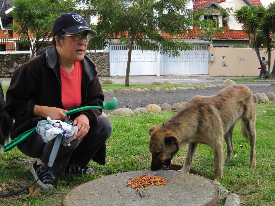
Jeanne feeding a street dog

In any case, in December of 2012 I joined my son Jimmy, daughter Molly, and sister Kathy to visit Ecuador.

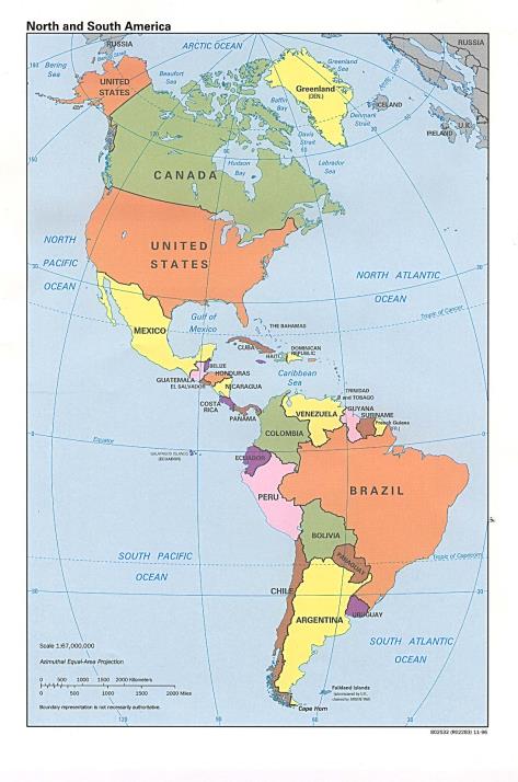
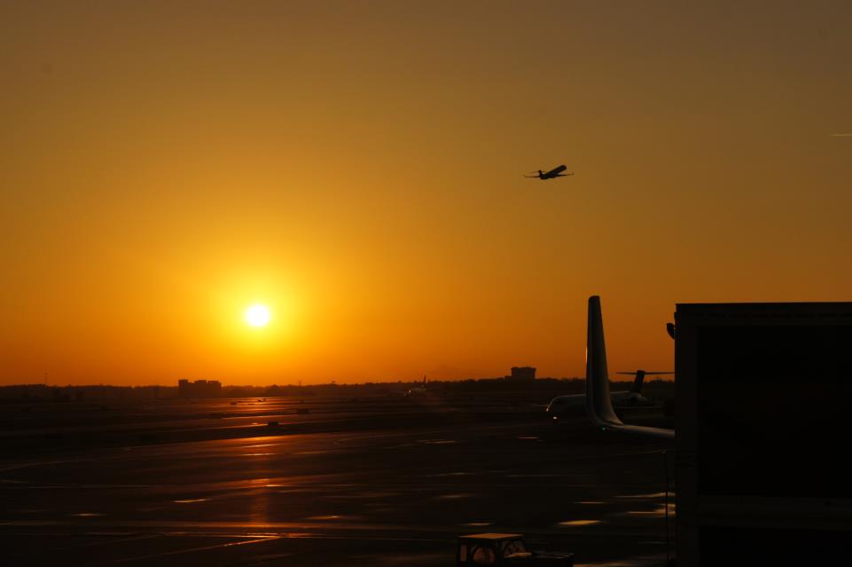
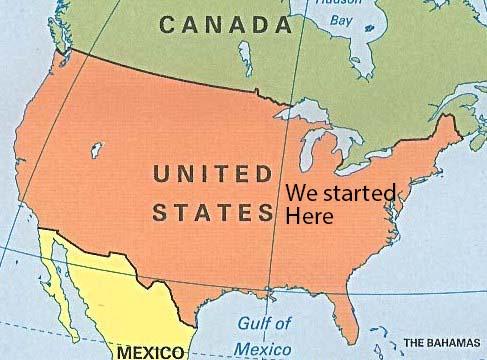
We fly from Ithaca, New York; on the east coast of North America

C:\Users\rhc3\Pictures\Ecuador travel\show\north map.jpg

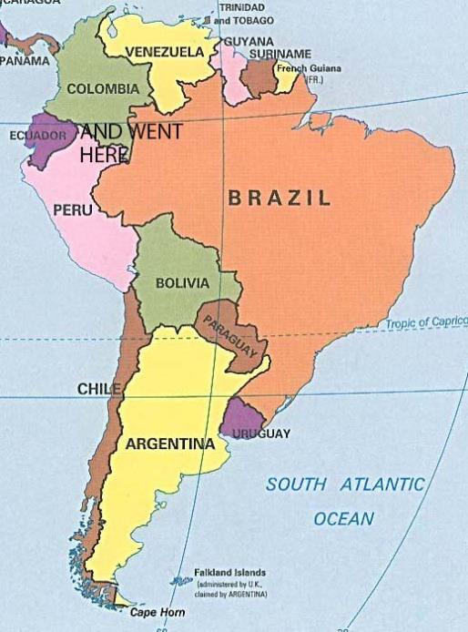
And fly to Quito and then Cuenca, Ecuador; on the west coast of South America
C:\Users\rhc3\Pictures\Ecuador travel\show\south map.jpg

Literally due south.  Due to plate tectonics, Ecuador and New York are in the same time zone!
C:\Users\rhc3\Pictures\Ecuador travel\show\both map.jpg
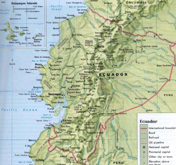
Jeanne lives in Cuenca, the third largest city in Ecuador after Quito and Guayaquil (a common gateway to tours of the Galapagos Islands).
C:\Users\rhc3\Pictures\Ecuador travel\show\Ecuador map.jpg

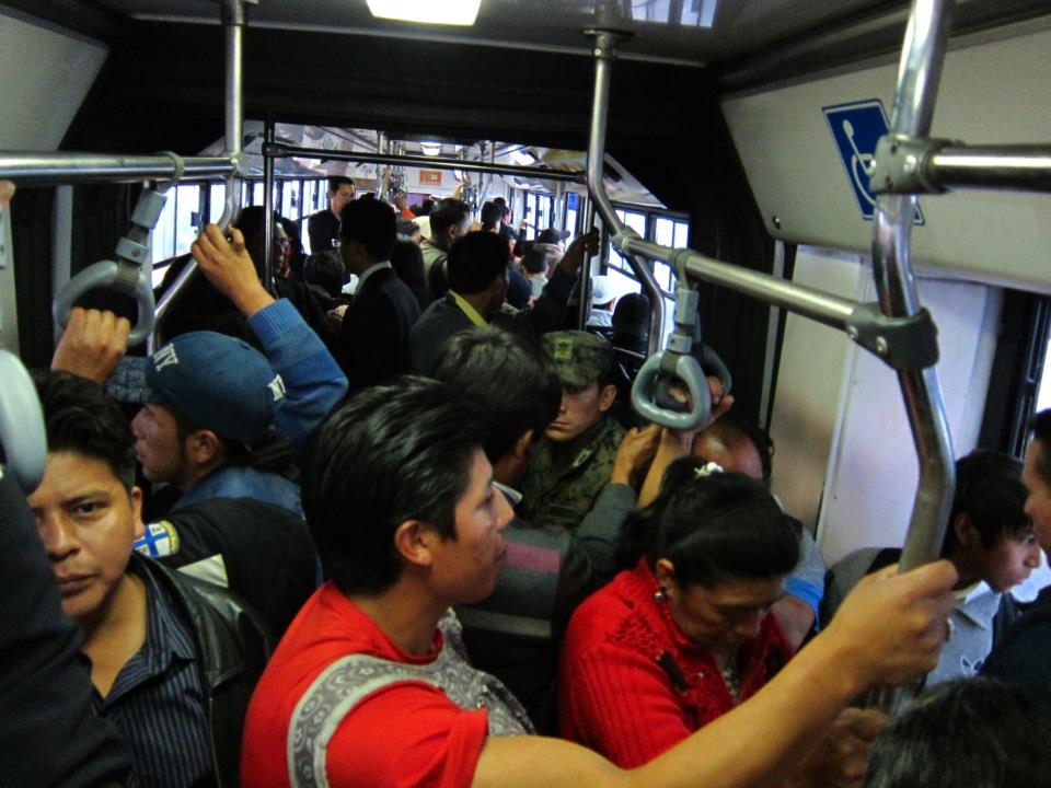
Before visiting, I read cautionary tales of crowded buses (where thieves will reach under your seat and slit your backpack open to steal the contents),
IMG_4023


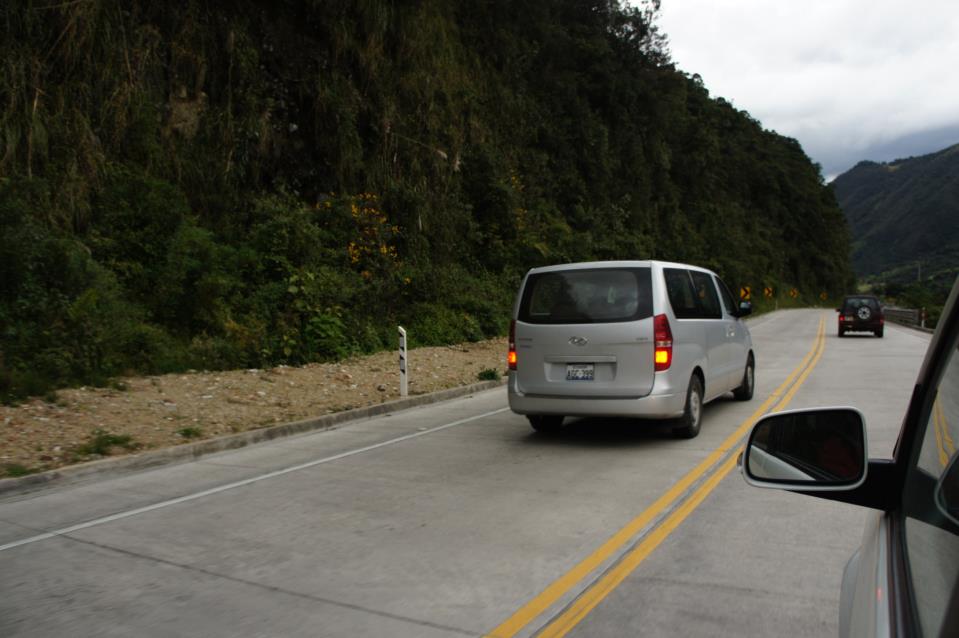
About the loose adherence to safety when driving.
C:\Users\goodkitty\Desktop\Ecuador show\New folder\DSC03384.JPG
A number of times we see vehicles passing while negotiating a hairpin turn.  And a number of times a third vehicle (including semi trucks) come barreling around the bend at the same time.  Luckily, Ecuadorian Highway Engineers are clever and build the roads wide enough to accommodate three across...

But the thoughts of visiting Jeanne (and climbing mountains) are strong enough to overcome my concerns, and I book tickets.
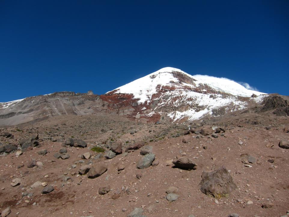
One of the mountains Jimmy and I hope to climb is Mt. Chimborazo.
C:\Users\goodkitty\Desktop\Ecuador travel\photos\IMG_4065.JPG

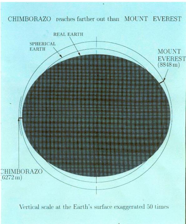
At 6,272 meters above sea level, Mt. Chimborazo is a high peak.  Again, thanks to geology and geeky geodesists, we know that the earth bulges at the equator (Considering the earth is spinning at 1,000 miles per hour, it's a wonder Ecuadorians don't go flying off into space).  Because of the bulging, Mt. Chimborazo is actually farther from the center of the earth than Mt. Everest!
C:\Users\goodkitty\Desktop\chimborazo-vs-everest.jpg

So, how do I prepare for such a serious climb?

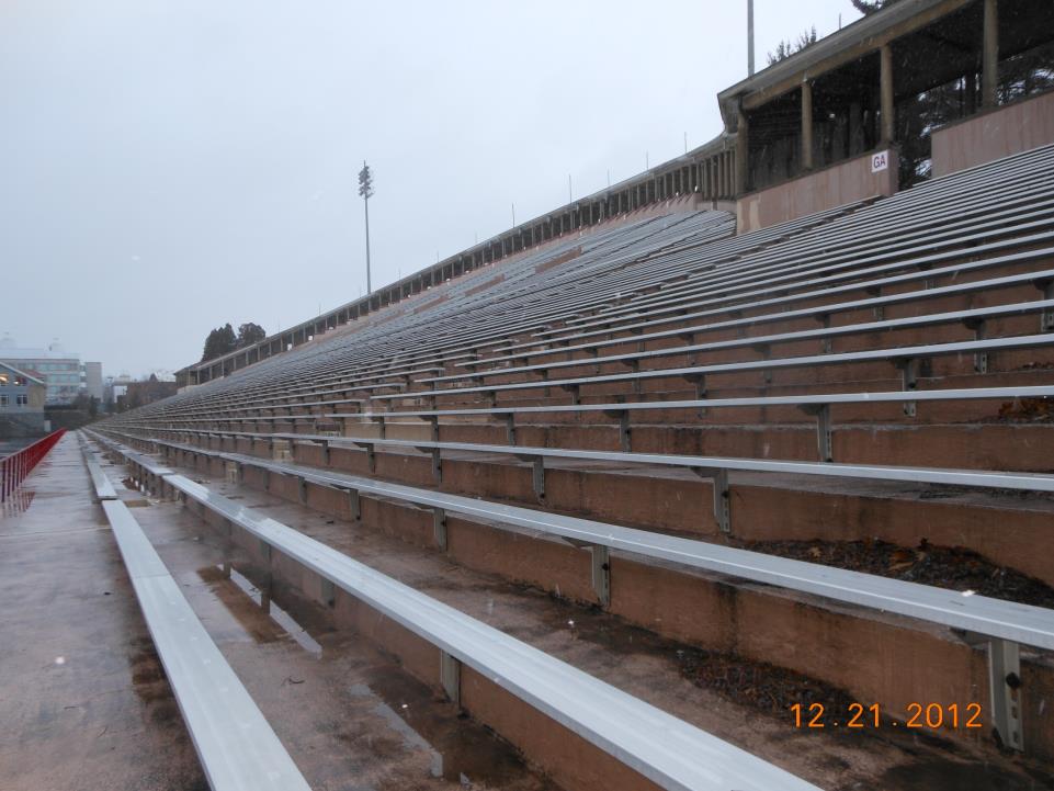
Lots of stairs (you can read about my OCD SMURF training program here).
C:\Users\goodkitty\Desktop\Ecuador show\DSCN3852.JPG

I also climb some peaks in the Adirondacks.
C:\Users\rhc3\Desktop\New folder\Noonmark\0150.jpg
Noonmark Mountain as viewed from a kite

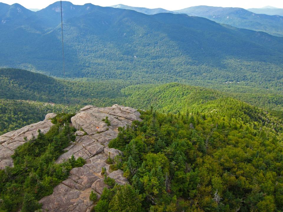
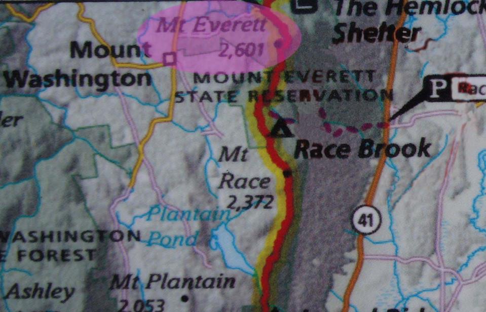
And, to prepare for a mountain that's "higher" than Mount Everest, I climb Mt. Everett in Massachusetts!
C:\Users\rhc3\Pictures\Ecuador travel\show\Mt Everett.jpg

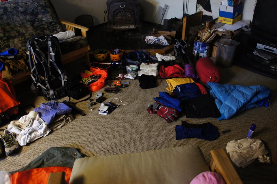
I also assemble a mountain of gear and clothing
C:\Users\rhc3\Pictures\Ecuador travel\photos\DSC02787.JPG


A week before my scheduled departure, Mt Tungurahua blows up.
C:\Users\rhc3\Pictures\Ecuador travel\show\Tungurahua_20121214.jpg
I send a frantic email asking the guide company if they're okay and if I should still come.
I receive this message in response:

"Hi Bob

Good day

Everything is Ok ,with us thank you ,i live in Quito.

There is no affect of Volcan Tungurahua  of your Chimborazo climb..dont worry.

Regards

Shuly"


So with that reassurance, off I go.
C:\Users\rhc3\Pictures\Ecuador travel\photos\DSC02801.JPG

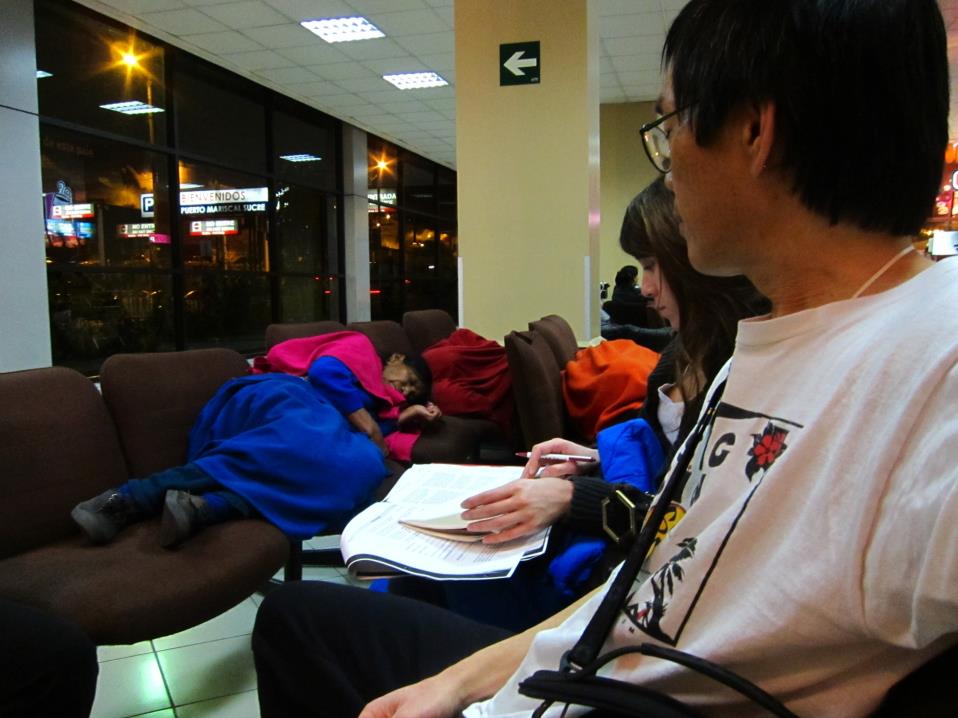
Despite it being the third largest city in Ecuador, there doesn't seem to be a way to fly from the US to Cuenca without a night layover in Quito.  Some folks stay in the airport (luckily Ecuadorian interior designers are compassionate and the seats don't have arm rests).
C:\Users\rhc3\Pictures\Ecuador travel\photos\IMG_3442.JPG

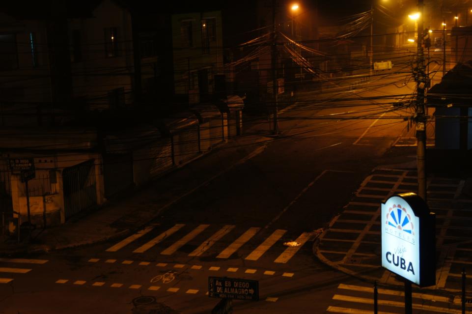
But we opt for a brief stay in a hotel.  The drive to the hotel feels sketchy to this bumpkin, unaccustomed to the ways of big cities or third world cultures.
C:\Users\rhc3\Pictures\Ecuador travel\photos\DSC02818.JPG

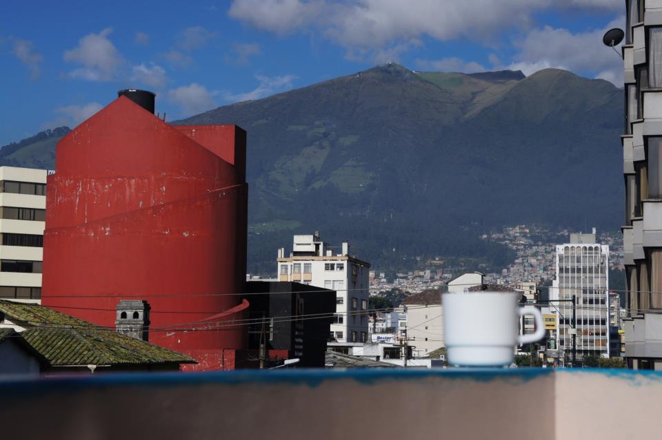
But once inside, and especially in the morning, the place reveals it's grand nature.  Jimmy and I sleep in the round tower, and have coffee on the little balcony, with a view of...
C:\Users\rhc3\Pictures\Ecuador travel\photos\DSC02838.JPG

The mountains surrounding Quito.  I come to know one of these mountains during my next visit.
C:\Users\rhc3\Pictures\Ecuador travel\photos\DSC02821.JPG
Coffee on the balcony

Breakfast also turns out to be memorable.
C:\Users\rhc3\Pictures\Ecuador travel\photos\DSC02832.JPG

Quito is a big city, and would probably be even bigger if not for the constraints of the surrounding mountains.

Kind of like Ouray, Colorado.
Kind of.


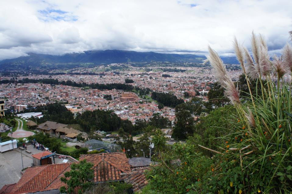
Cuenca is also a big city by my standards, but the trip from the airport to Jeanne's house is quick.  Because...
C:\Users\rhc3\Pictures\Ecuador travel\photos\DSC03087.JPG

The airport in Cuenca is right in town.  So close, the jet blast probably helps dry people's laundry hanging in their yard.  Or more likely gives sheets the twangy aroma of Jet-A fuel.


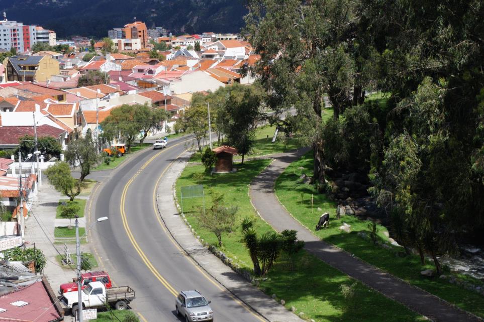
One of the cultural differences I like is watching a guy walking with a cow along pedestrian paths to the city park where he tethers it to graze for the day.  Then they walk home in the evening.
C:\Users\rhc3\Pictures\Ecuador travel\photos\DSC02898.JPG

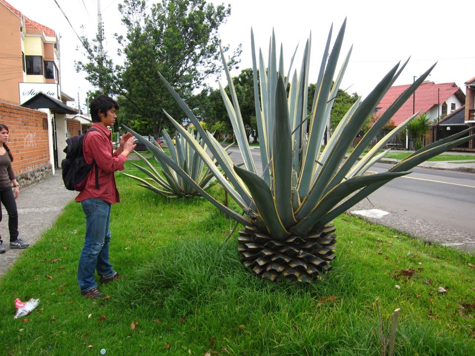
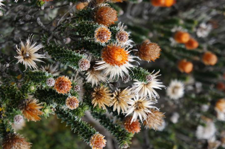
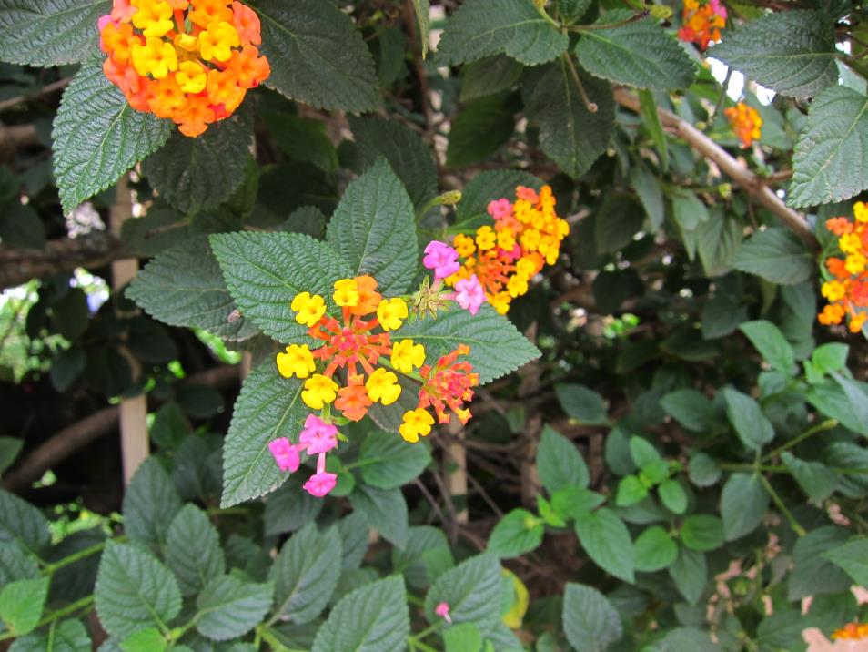
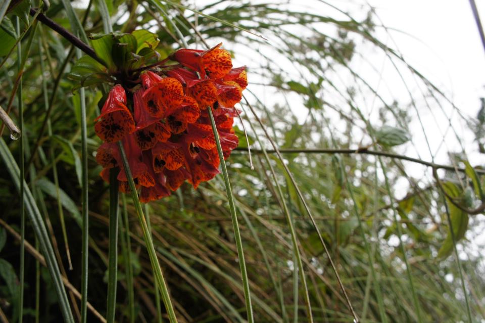
Although located on the equator, Cuenca is situated at about 8,400 feet of elevation, so we get to see some new flora.
IMG_3517

DSC04166

C:\Users\goodkitty\Desktop\IMG_3521.JPG

DSC03599


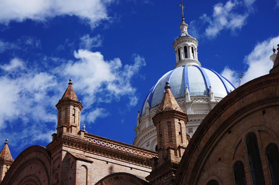
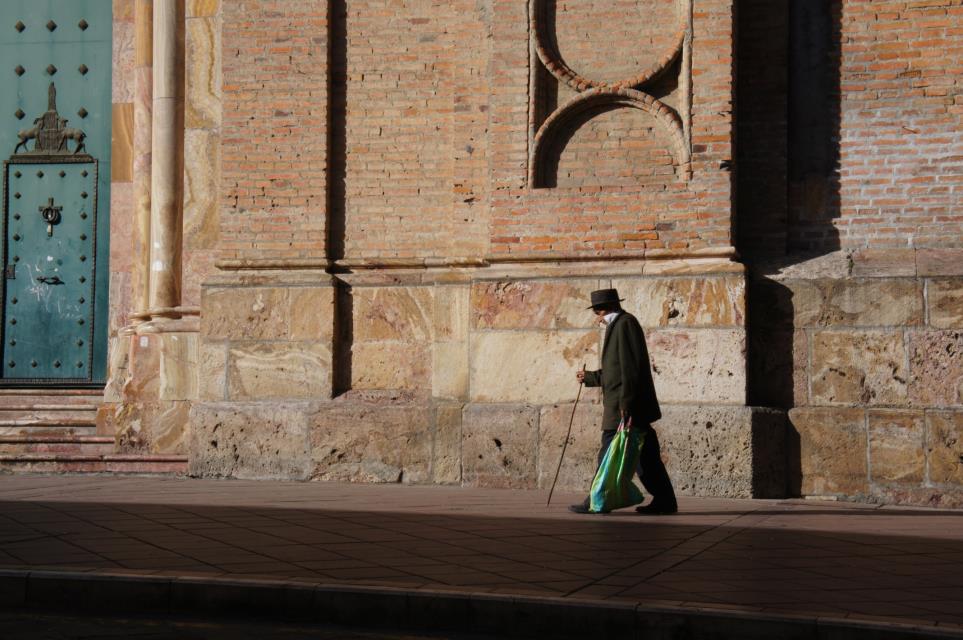
Cuenca is a UNESCO World Heritage Site so we also get to admire some incredible architecture


C:\Users\goodkitty\Desktop\Ecuador show\DSC03187.JPG

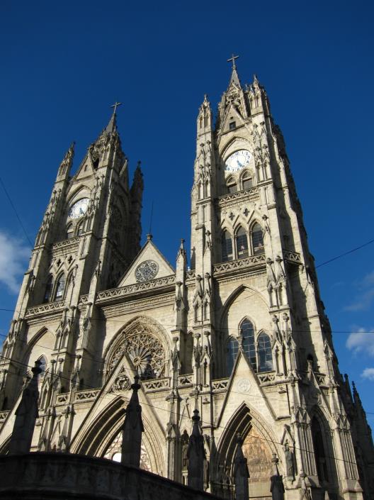
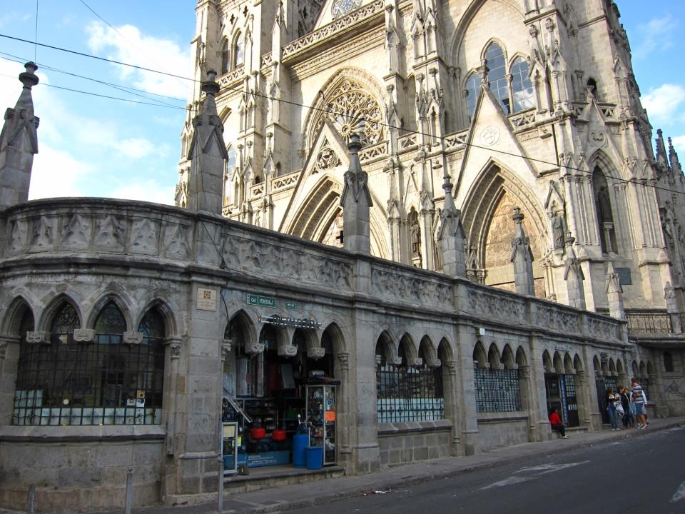
Jimmy and I get to appreciate another cultural difference when we visit this cathedral in Quito.  As we're admiring the architecture, they close and lock the surrounding gates for the night. There's no advanced notice, so several of us tourists have to climb over a wrought iron fence and traverse along the top of a stone wall to get out!  Good practice for mountains.
C:\Users\goodkitty\Desktop\Ecuador show\IMG_3994.JPG

And, on the ground floor of the cathedral, you can shop for plumbing supplies.
C:\Users\goodkitty\Desktop\Ecuador show\IMG_3996.JPG


While on the subject of merchandise in unexpected places, or in this case unexpected merchandise...
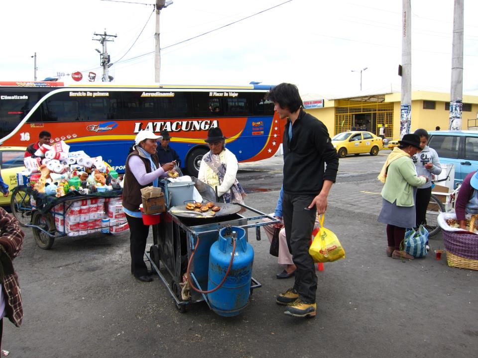
The guy behind the food vendor is selling toilet paper and rubber chickens.

IMG_4044
Jimmy is about 5'10" tall.  Granted, he's wearing his mountain boots and maybe he's closer to the camera, but still...

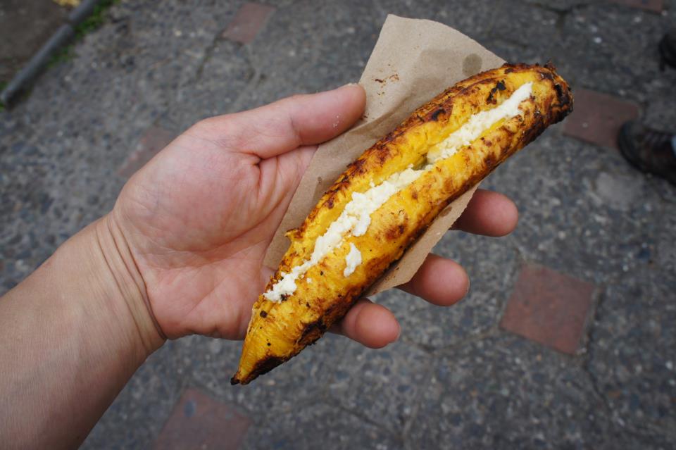
Fried banana with queso fresco.  Yum.
DSC03490

C:\Users\rhc3\Pictures\Ecuador travel\photos\DSC02934.JPG
Cherries, not plums

Didn't try this, or even stop to ask.  But I am curious.

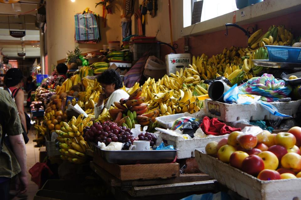
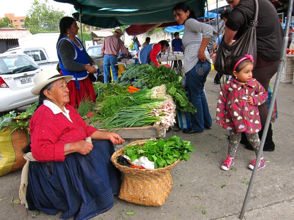
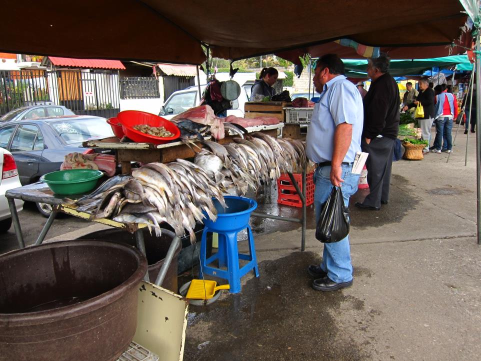
Here are pictures of the food market near Jeanne's house.
C:\Users\goodkitty\Desktop\Ecuador show\IMG_3505.JPG

C:\Users\goodkitty\Desktop\Ecuador show\IMG_3502.JPG

C:\Users\rhc3\Pictures\Ecuador travel\photos\DSC02968.JPG

C:\Users\goodkitty\Desktop\Ecuador show\IMG_3501.JPG

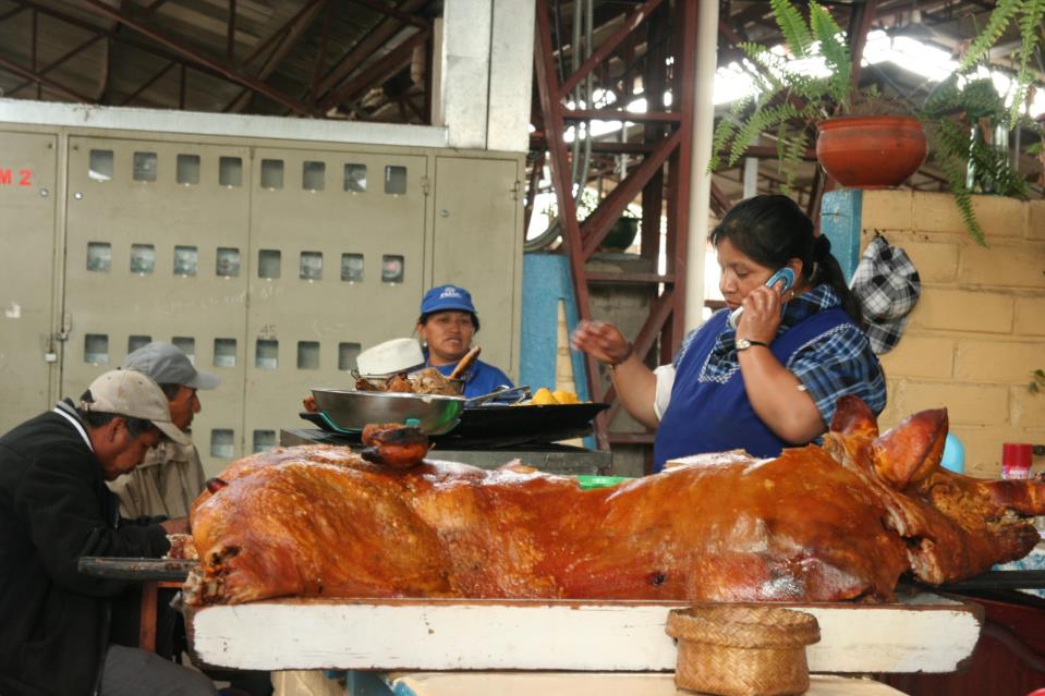
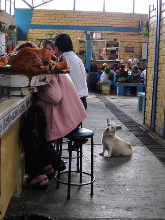
This little piggy went to market and ended up as Almuerzo.
C:\Users\rhc3\Desktop\img_3758.jpg

C:\Users\goodkitty\Desktop\Ecuador show\IMG_3532.JPG

C:\Users\goodkitty\Desktop\Ecuador show\IMG_3533.JPG

C:\Users\goodkitty\Desktop\Ecuador show\DSC02992.JPG


If you look closely to labels in the US grocery stores, sometimes you'll see that fruits and vegetables are from Ecuador.

C:\Users\rhc3\Pictures\Ecuador travel\photos\DSC02982.JPG

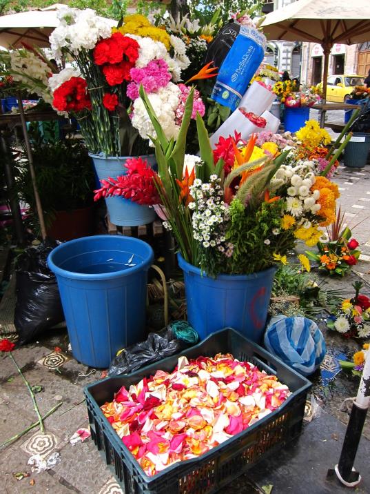
And lots of the cut flowers, especially roses are from Ecuador.
C:\Users\goodkitty\Desktop\IMG_3469.JPG

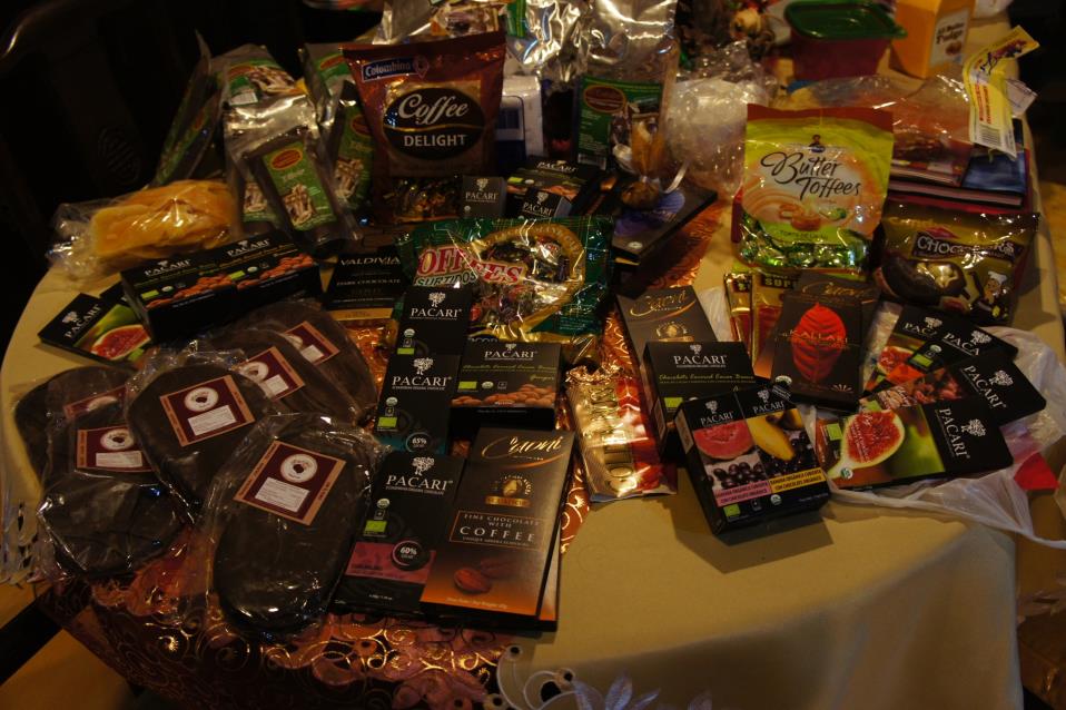
As well as chocolate.
C:\Users\goodkitty\Desktop\DSC03028.JPG
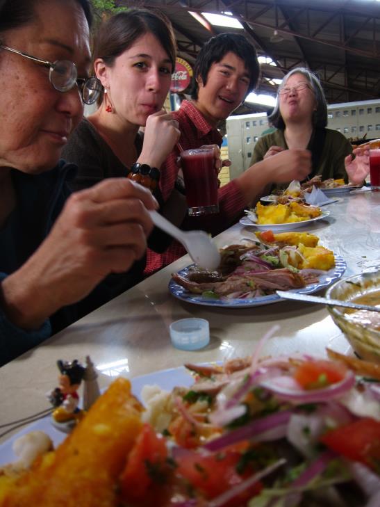
This is not a store display, but I'm not telling how many gringos share this gluttonous spread.


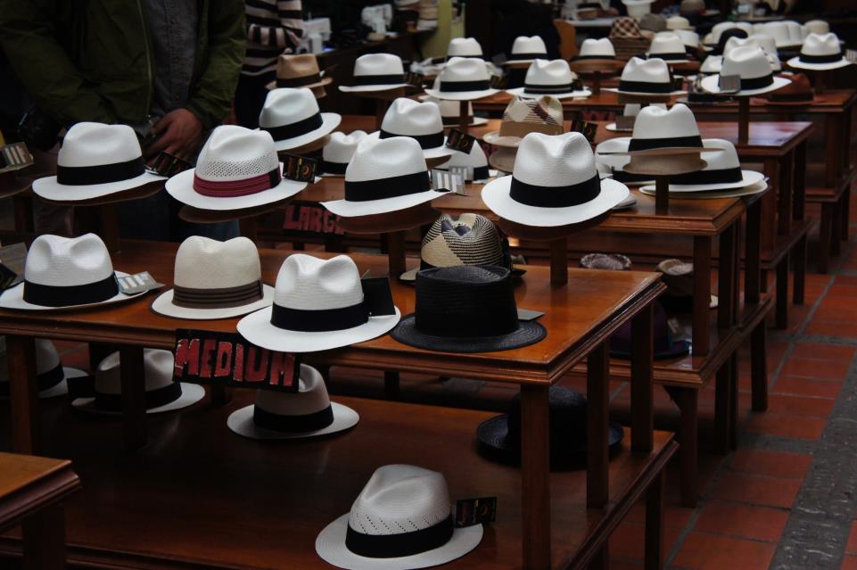
Despite the name, Panama Hats originated in Ecuador.
C:\Users\goodkitty\Desktop\Ecuador travel\photos\DSC03006.JPG

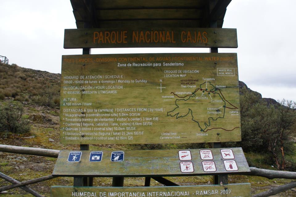
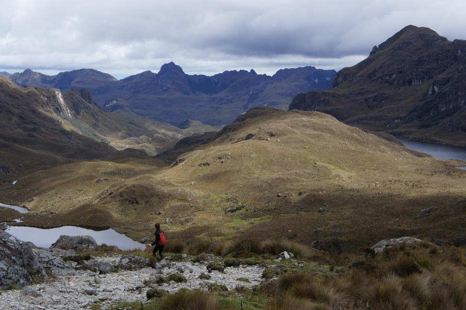
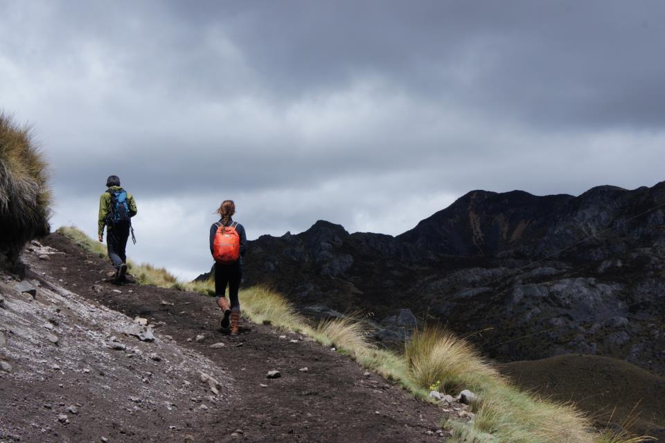
Armed with proper protection from the sun; Molly, Jimmy and I set off for a hike in Las Cajas Park.
C:\Users\rhc3\Desktop\DSC03217.JPG


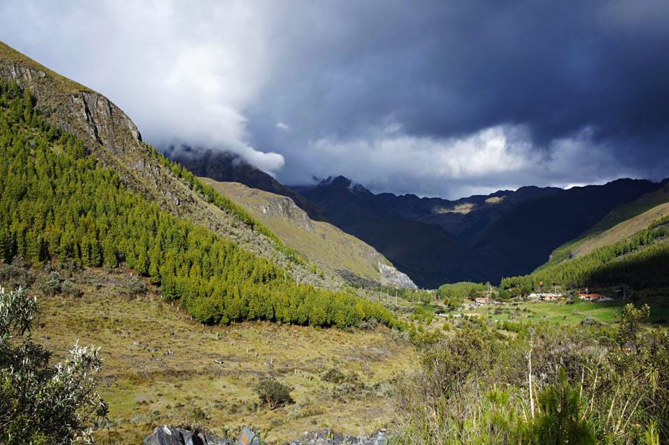
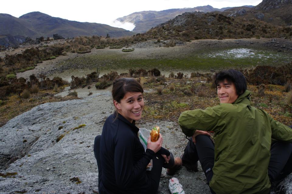
This turns out to be one of the most scenic hikes I've ever had the pleasure to experience.  I am so lucky.
DSC03297

DSC03245


And the sandwiches rank as one of the best meals of my life.  Of course, it might have something to do with the culinary companions and scenery.
DSC03267

One cultural quirk that Cuenca shares with Ithaca is a parade of tutu-wearing vehicles.
Z:\DSC03210.JPG

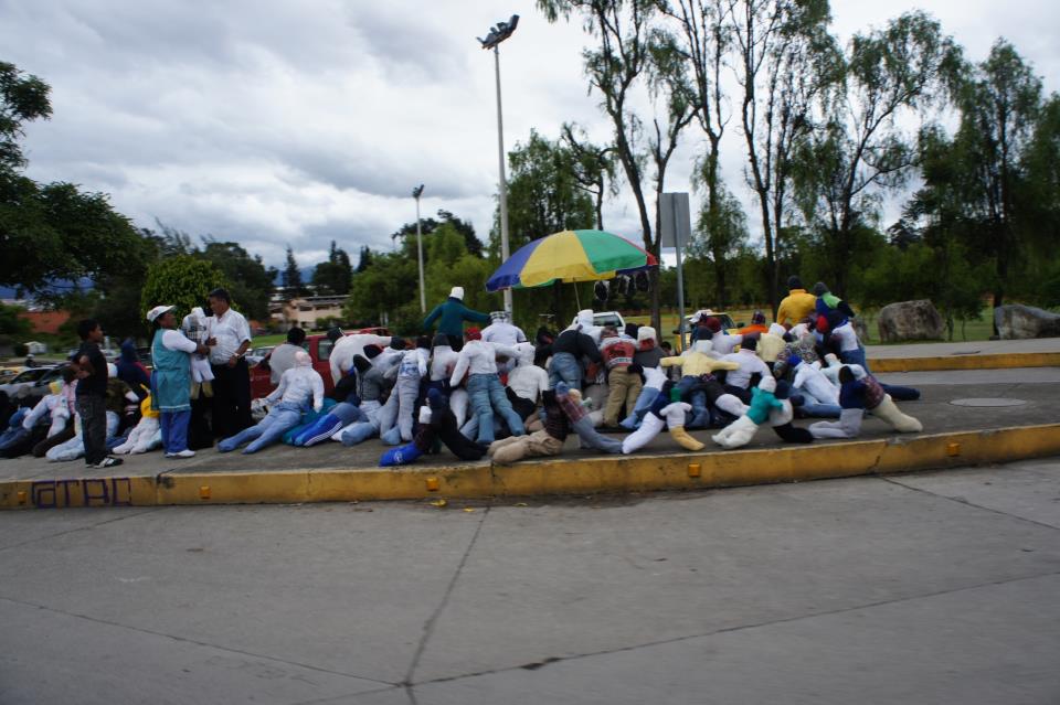
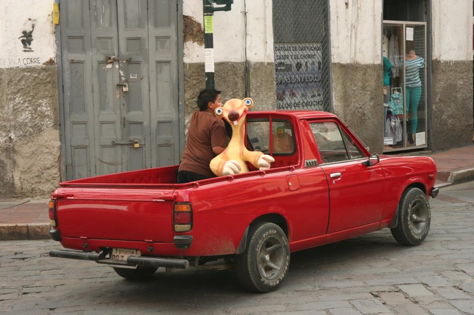
It's part of the New Year celebration that includes burning effigies to rid us from bad habits of the past year.  The "monigotes" are available for sale all over the city,
C:\Users\goodkitty\Desktop\DSC03439.JPG

resulting in some fun passengers
C:\Users\rhc3\Downloads\img_4287.jpg

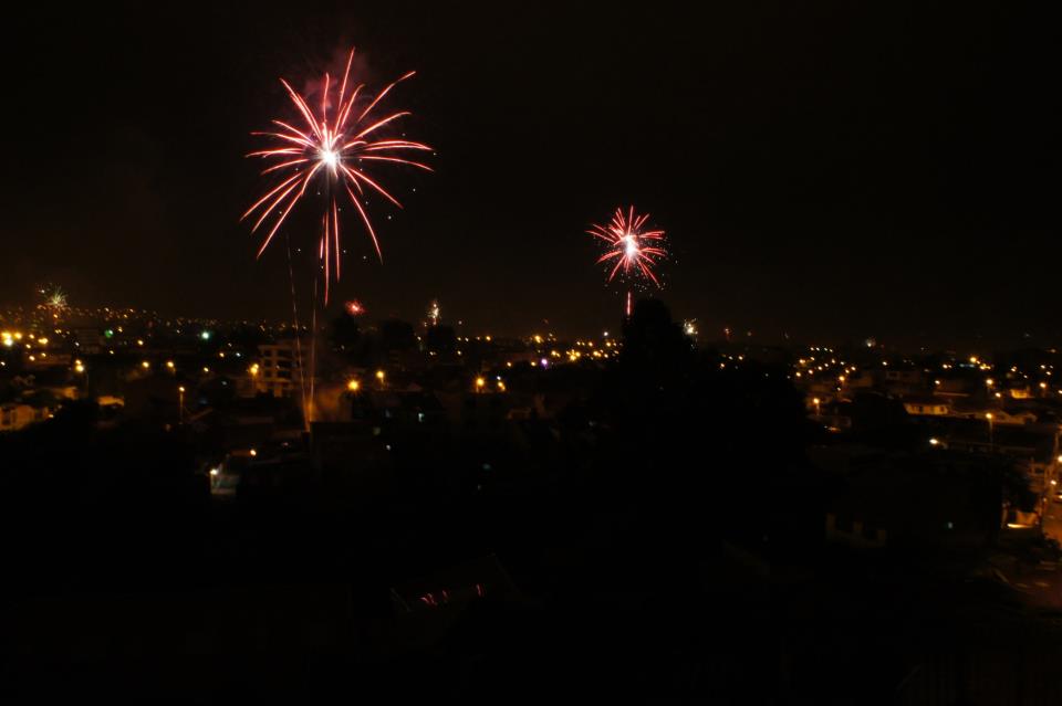
On New Year's Eve, there's no need to leave your house to enjoy the fireworks, they are shot off all over the city streets : )
DSC03511


And so, after a great time together, Molly and Kathy head home, and Jimmy and I prepare to do some climbing.

More Hitching than Hiking in Northern Minnesota

My earliest outdoor adventure trips after the experiences through Camp Widjiwagan were backpacking trips with friends. In 2020, I re-conne...